Precision Drone Mapping & 3D Scanning
Accurate. Efficient. Aerial Data You Can Trust.
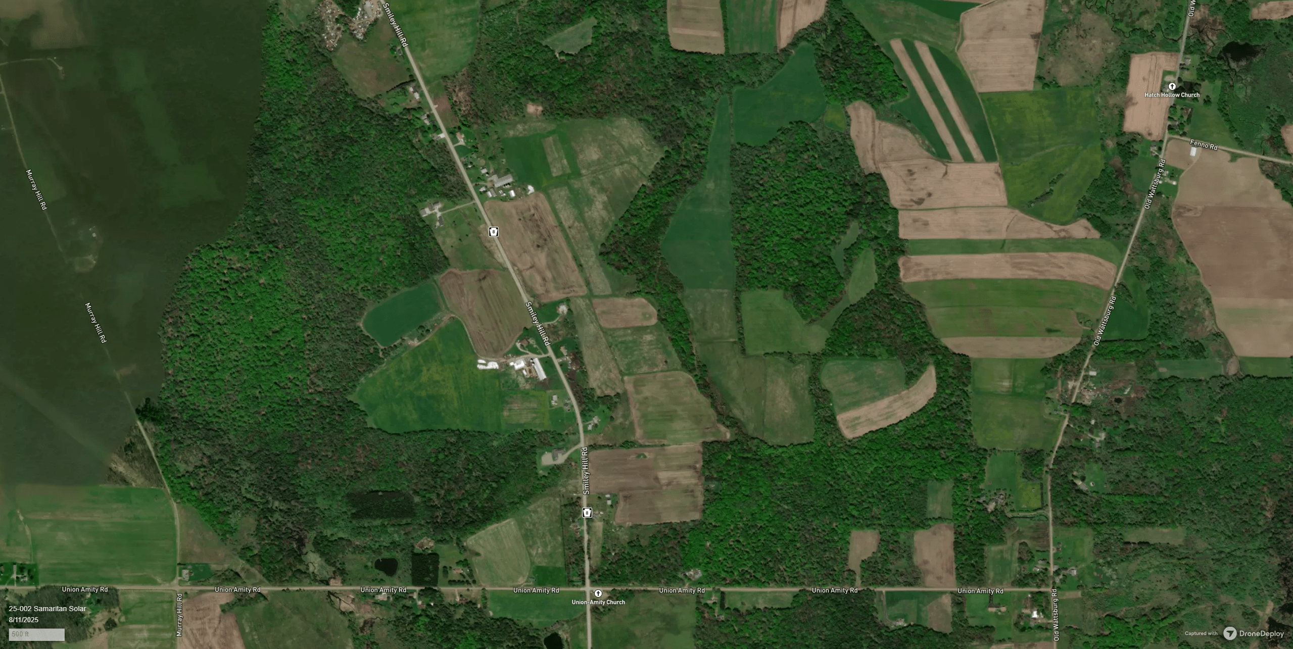
Surveying & Mapping
Turn raw land into accurate, high-resolution maps and 3D models. Our drone surveying delivers precise data faster and more cost-effectively than traditional methods.
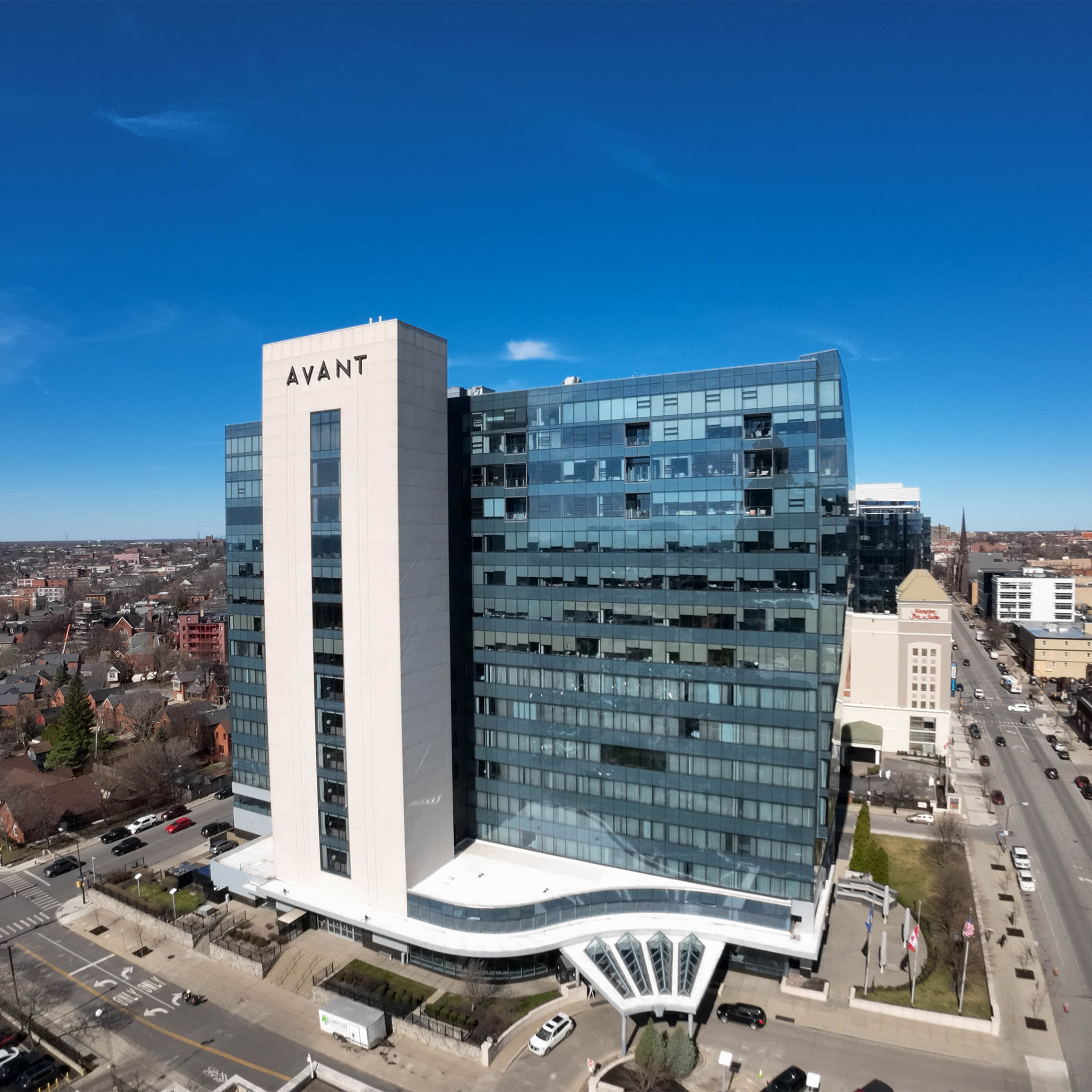
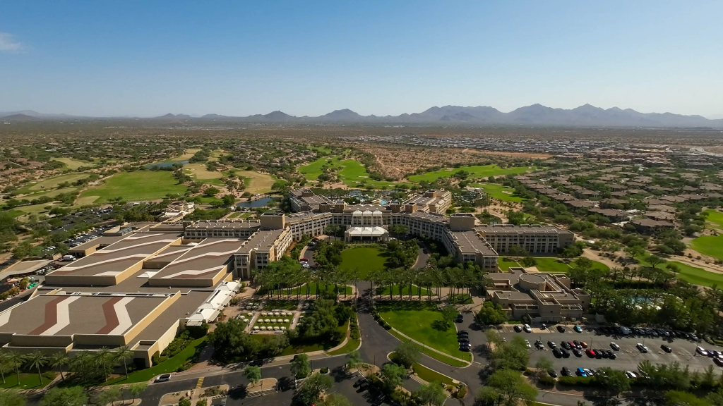
Aerial Imaging
Capture stunning visuals from above. From inspections to real estate, we provide crystal-clear aerial imagery tailored to your project needs.
Marketing & Media
Showcase your brand with dynamic aerial content. Engage your audience through tailored photos and videos designed to elevate your marketing.
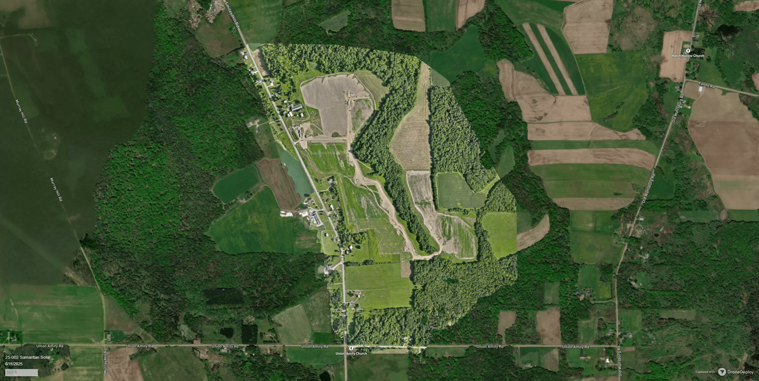
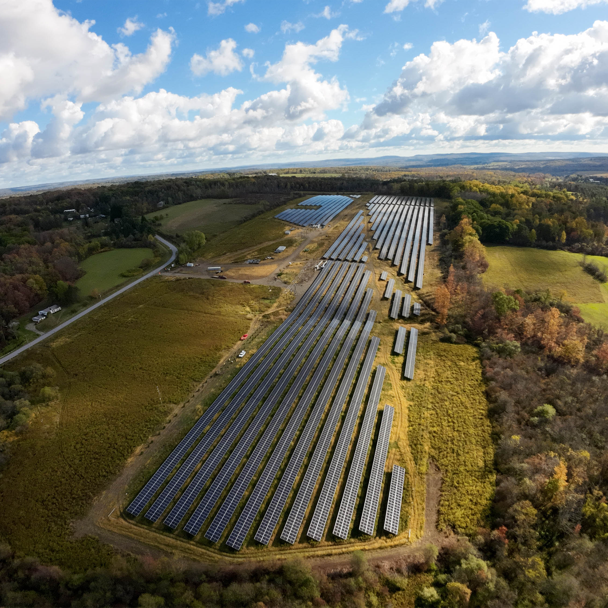
See the Full Picture Before You Build
Drone mapping delivers accurate before-and-after views that help developers, engineers, and planners make better decisions. This solar farm site was mapped to track progress and ensure efficient project execution.
Our Partners
We work with businesses and brands across a variety of industries.
Boyd Jones Construction
Buffalo Solar

Star Landscape & Development
ET DevOps
See Your Projects from a Higher Perspective.
From land development to inspections, our drone mapping and aerial imaging deliver the clarity you need to plan, build, and showcase with confidence.